OpalAi ScanTo3D Reviews: Use Cases & Alternatives
What is OpalAi ScanTo3D?
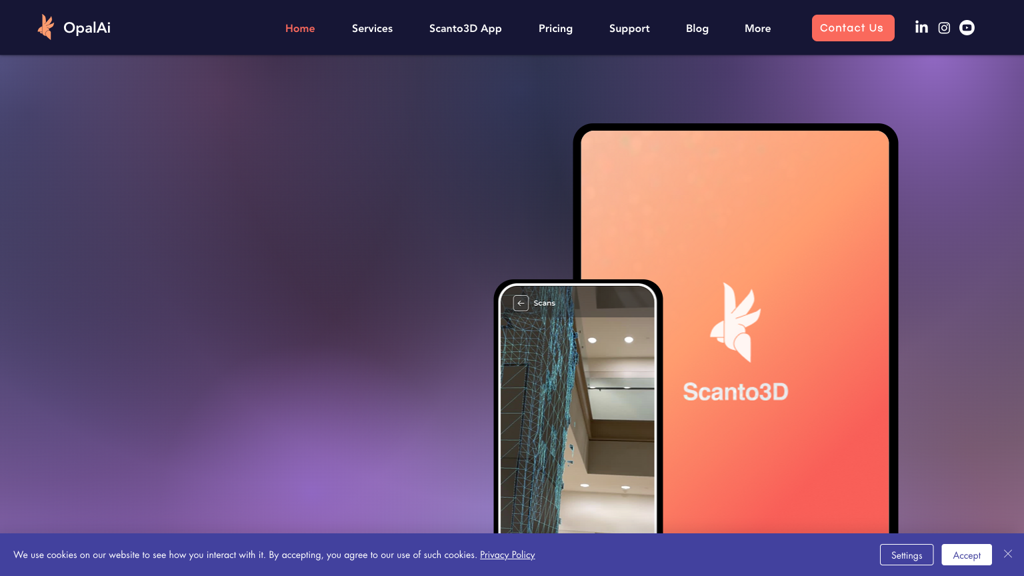
OpalAI's ScanTo3D app is a cutting-edge solution for quickly generating detailed BIM models and floor plans for commercial and industrial spaces. With just three simple steps - scan, texture, and upload - users can capture up to 100,000 sq ft in just one hour using their iPhone or iPad. The app allows for seamless editing, sharing, and uploading of textured scans in various output formats such as Revit, AutoCAD, SketchUp, and more. OpalAI's latest features ensure a speedy 10-minute turnaround time without the need for tape measures or manual note-taking, making it the go-to tool for creating accurate and detailed indoor maps and models.
AI Categories: OpalAi ScanTo3D,3d,AI tool
Key Features:
3D model generation
Core features
Construction project managers
Use case ideas
Summary
OpalAI's ScanTo3D app creates intricate BIM models and floor plans for large commercial/industrial spaces in minutes using iPhone/iPad. Capture up to 100,000 sq ft in an hour with a three-step process, featuring smooth editing, sharing, and rapid 10-minute output for accurate indoor mapping without manual measurements.